Australian Electoral Commission


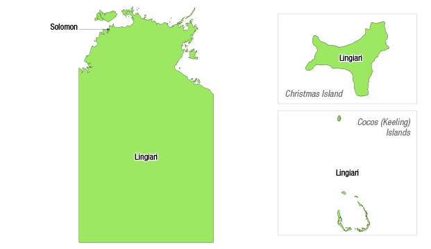
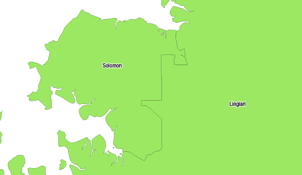
Maps illustrating how the enrolment of each division in the Northern Territory as at 15 October 2015 relates to the current enrolment quota.
Current enrolment key
Pink – over variance (71 265+)
Green – within variance (58 308 to 71 264)
Yellow – under variance (0 to 58 307)

Note: The division of Lingiari consists of:

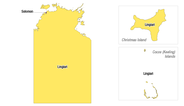
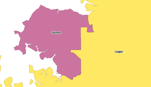
Maps illustrating how the projected enrolment of each division in the Northern Territory (as at the projection date of 7 August 2020) relates to the projected enrolment quota.
Projected enrolment key
Pink – over variance (73 163+)
Green – within variance (68 214 to 73 162)
Yellow – under variance (0 to 68 213)

Note: The division of Lingiari consists of:
