Australian Electoral Commission


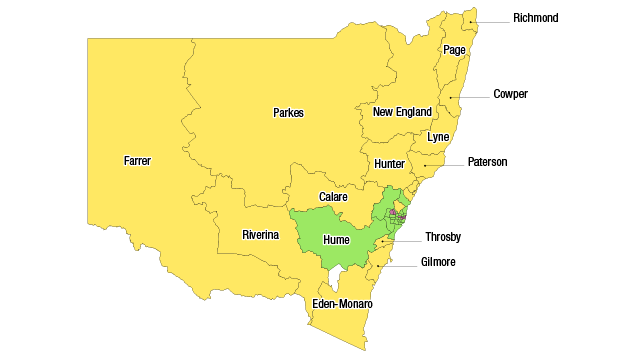
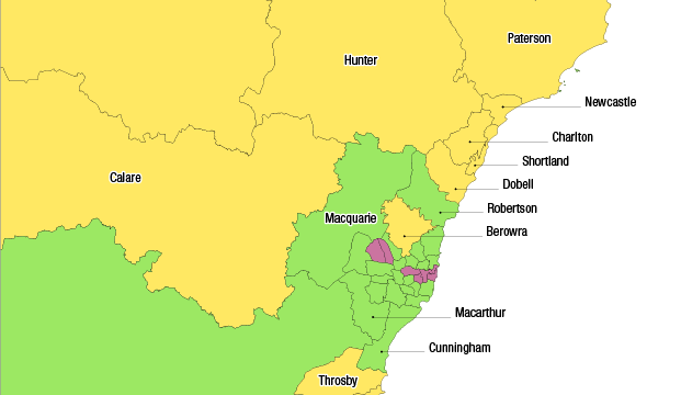
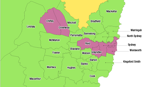
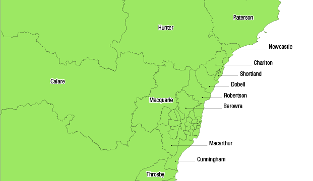
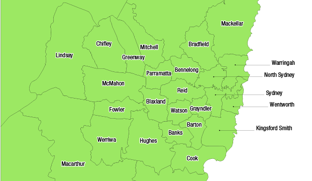
Maps illustrating how the enrolment of each division in NSW as at 1 December 2014 relates to the current enrolment quota.
Current enrolment key
Pink – over variance (113 830+)
Green – within variance (93 132 to 113 829)
Yellow – under variance (0 to 93 131)
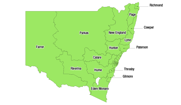
Maps illustrating how the projected enrolment of each division in NSW (as at the projection date of 25 August 2019) relates to the projected enrolment quota.
Projected enrolment key
Pink – over variance (114 412+)
Green – within variance (106 673 to 114 411)
Yellow – under variance (0 to 106 672)
